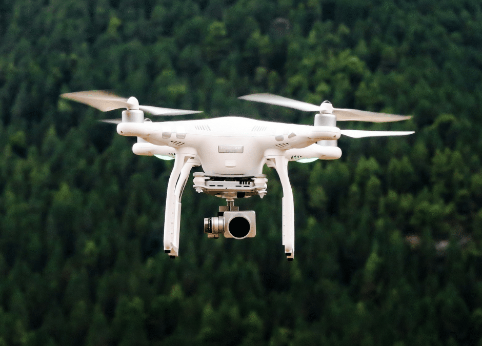
A relatively new device is fighting wildfires from the air after the U.S. Forest Service deployed a large drone to fight against the Rattlesnake Branch Fire in the Shining Rock Wilderness Area near Cruso in Haywood County. The U.S. Forest Service says its drone can more accurately map fires with an infrared camera that sees through smoke. Discover how this aerial technology could transform wildfire response strategies nationwide.
US Forest Service Uses High-Tech Drone to Map, Fight Rattlesnake Branch Fire