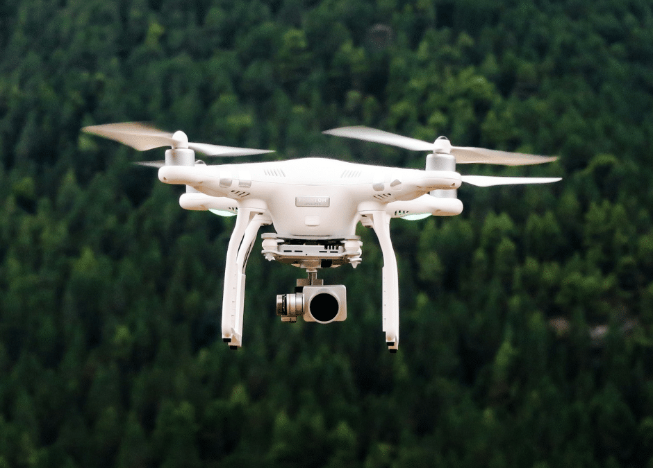
A relatively new device is fighting wildfires from the air after the U.S. Forest Service deployed a large drone to fight against the Rattlesnake Branch Fire in the Shining Rock Wilderness Area near Cruso in Haywood County. The U.S. Forest Service says its drone can more accurately map fires with an infrared camera that sees through smoke. Discover how this aerial technology could transform wildfire response strategies nationwide.
Recent Articles
 AI Can ‘Hear’ When a Lithium Battery Is About to Catch Fire
 BC Wildfire Service Reflects On 2024; Minister Of Forests Preparing For 2025
 Ontario Ignites $30M Initiative To Combat Firefighter Cancer Risks
 AI Is Ready To Help Fight Wildfires, And The ‘Windninja’ Is Next
 Cal Fire San Diego Shows Off Latest Technology to Fight Fires


